The boundary myth
A suburb boundary can organise services and statistics without changing what happens at the front gate. Look past the label, then measure the roads, routes, noise and risks that shape the address.

Chris
Founder
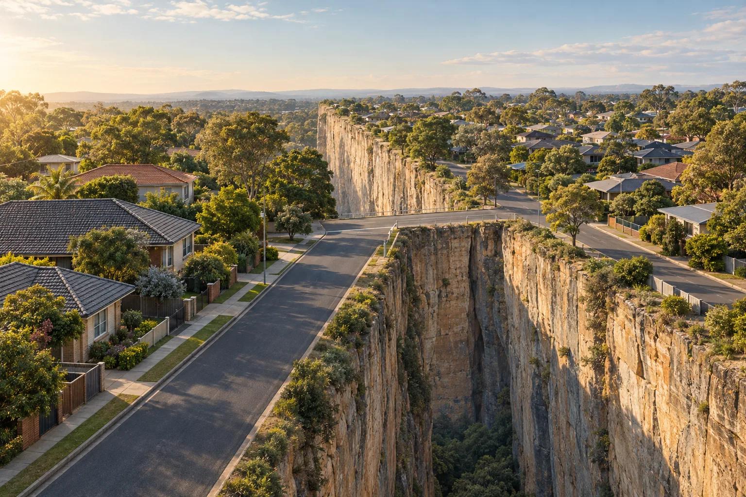
Property advice can treat a suburb boundary like a cliff. One side is the address people want; a few steps across the road is supposedly worse, harder to resell and worth less. The line may be real. The cliff still needs proving.
A boundary drawn for postal delivery, statistics or service planning can be useful without changing the street, park, route or noise around a home.
What does a suburb boundary actually do?
Administrative boundaries give organisations a consistent way to name, count, govern and compare places. The NSW Government describes boundary data as supporting voting districts, zoning and regional planning, local government service distribution, socio-economic analysis and emergency management. Those are important jobs. They are different from declaring that every property inside one polygon shares a single level of liveability or prestige.
The ABS is unusually direct about this distinction. Its Suburbs and Localities are approximations that enable the release and comparison of statistics. A suburb name can help identify a defined area and qualify an address. It cannot on its own, explain the location around or within the area.
A line can be useful without being a quality cliff
| Location pattern | Potential upside | Potential trade-off |
|---|---|---|
| Suburb or postcode | Helps with addressing, search, listing language and the grouping of public information. | May cut across similar streets and hide differences in roads, land uses, noise, access and everyday routes. |
| Electoral or census geography | Supports representation, statistics and consistent analysis over time. | Was not drawn to measure the lived quality of every address or predict a property's resale value. |
| Flood or bushfire overlay | Can trigger planning controls, investigation and decisions that deserve careful attention. | A mapped edge is not proof that risk stops at the line or that every property inside it faces the same exposure. |
| Personal Kaveat boundary | Reflects the requirements, preferences, routes and tolerances that matter to the household. | Needs a clear brief and still sits beside inspections, official checks and professional advice. |
The thought experiment across the road
Go to the boundary of your current suburb, if you even know where it is. Stand on one side of the road and look to the other side. What changes in practical terms? The footpath may continue. The same buses may use the road. The nearest shops, park, school route, railway line or main traffic corridor is most likely the same.
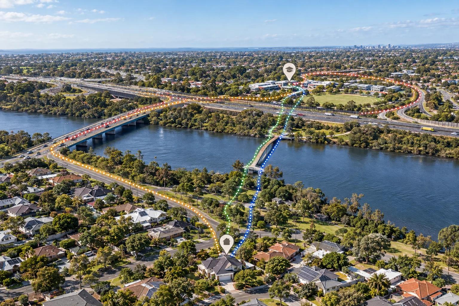
Perhaps there is change. A river, ridgeline, industrial area, major road or rail corridor can form a meaningful edge. A council boundary may affect rates, services or planning rules. A school catchment can be an important consideration. The point is to identify the thing that changes, rather than assume the place area name alone has done the work for you.
Agents will tell you that the other side is less prestigious, will not hold its value or attract the same buyer demand. Those claims might be relevant to a particular market, but they are not established by the presence of a line alone. If an equivalent home across the road is cheaper while offering the same routes, access, surrounding land uses and daily conveniences, the suburb difference may be your opportunity.
A boundary can be official and still be fuzzy
Hazard overlays show why boundaries need more care than a simple inside or outside answer. A flood study or bush fire prone land map can be an important planning instrument. It can tell you when to investigate a site, apply controls or seek specialist advice. It is not a promise that an address outside the polygon has no exposure, or that every address within it experiences the same conditions.
The NSW Rural Fire Service describes bush fire prone land mapping as a planning trigger. Bush fire behaviour also depends on vegetation, fuel, weather and topography, all of which interact with distance. If an overlay ends 200 metres from a forested area, it would be strange to treat a property at 210 metres as having zero bushfire concern while a property at 199 metres has the same risk as one beside the vegetation.
Queensland's FloodCheck makes a related limitation explicit. It says the portal should not be used to determine flood potential at property level and that local government should be contacted for property-level information. Each event can differ, and a hard polygon cannot capture every driveway, drainage path, elevation change or future development effect.
Use the official line, then add a tolerance
Keep official boundaries in view. They carry legal, planning, service and safety meaning. The better question is what should happen around the line. A flood overlay may deserve an expanded investigation area. Bushfire exposure may deserve a distance preference that continues beyond the mapped edge. A road, rail corridor or industrial site may affect homes beyond the boundary shown by a generic property report.
Kaveat was built for this question: where does this combination of conditions work for me, and how does the fit change as I move away from the thing I care about? You can expand a requirement around a mapped feature when proximity is a firm concern. You can use a preference with distance decay when the influence should reduce gradually rather than stop at an arbitrary cutoff. From 200 to 300 metres, the score can represent a declining concern instead of pretending that the world changes state at 200 metres.
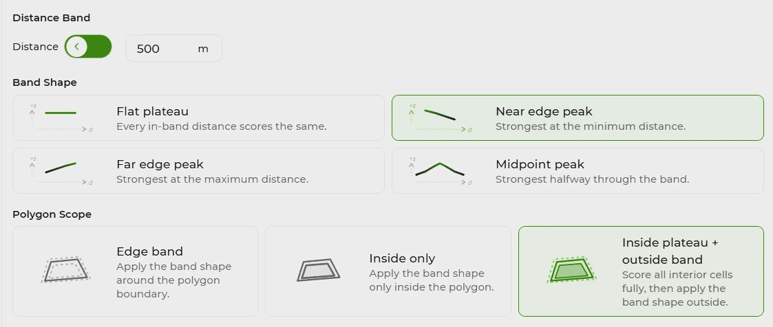
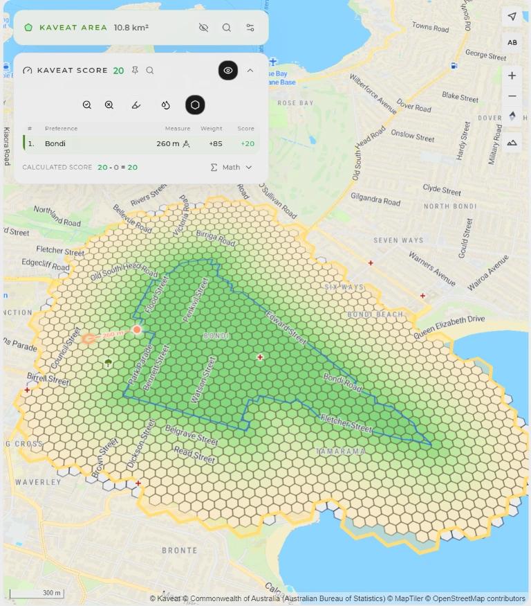
This is the difference between asking whether a property is inside a generic boundary and asking how its relationship to that boundary fits your decision. The first is a useful flag. The second is a location question with room for judgement, uncertainty and different household tolerances.
Boundaries still matter
The boundary myth is not that every line is meaningless. The myth is that every line creates a dramatic, measurable cliff in place quality or risk. Some boundaries carry a rule. Some carry a statistical convention. Some identify a hazard that deserves assessment. Some are simply a name that has acquired a premium through repetition.
All boundaries are fuzzy, but boundaries are still real and important.
Before treating a boundary as a reason to pay more or walk away, ask three questions: what created the line, what actually changes at the address, and does the effect stop or fade with distance? Use the official boundary as evidence, then test the practical relationship around it.
Sources and further reading
- Australian Bureau of Statistics: Suburbs and Localities
- Australian Bureau of Statistics: Understanding Census geography
- NSW Government: Administrative Boundaries
- NSW Rural Fire Service: Guide for Bush Fire Prone Land Mapping
- NSW Rural Fire Service: Bush fire prone land
- Queensland Government: FloodCheck
- South Australian Government: South Australian Property and Planning Atlas
- South Australian Government: Hazard mapping project
- South Australian Government: FloodAware SA
- South Australian Government: Groundwater data
- Victorian Government: Using VicPlan
- Victorian Government: Planning property report
- Victorian Government: Groundwater resource reports
- Victorian Government: DEECA interactive maps