WIMBY: what's in my backyard?
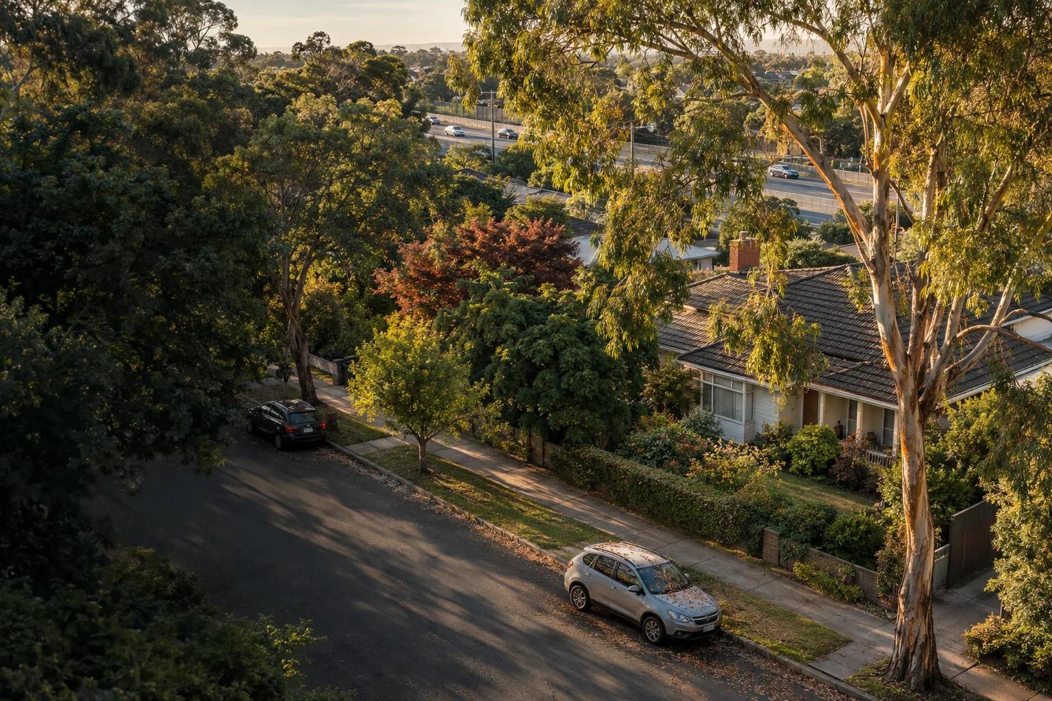
Before a proposal becomes a headline, the planning map may already show what could change around a home. WIMBY turns that uncertainty into questions about distance, noise, traffic and future land use.

Chris
Founder
NIMBY means "Not In My Back Yard", a label often applied when residents object to a new proposal. YIMBY, "Yes In My Back Yard", describes support for housing and land-use change. Both labels can hide useful questions about noise, traffic, water, land use and who carries the cost.
WIMBY gives property search a more useful question: what is in my backyard, what is allowed nearby and what could change the experience of living here? Start with the planning context before a proposal becomes a headline.
What a data centre can change around a home
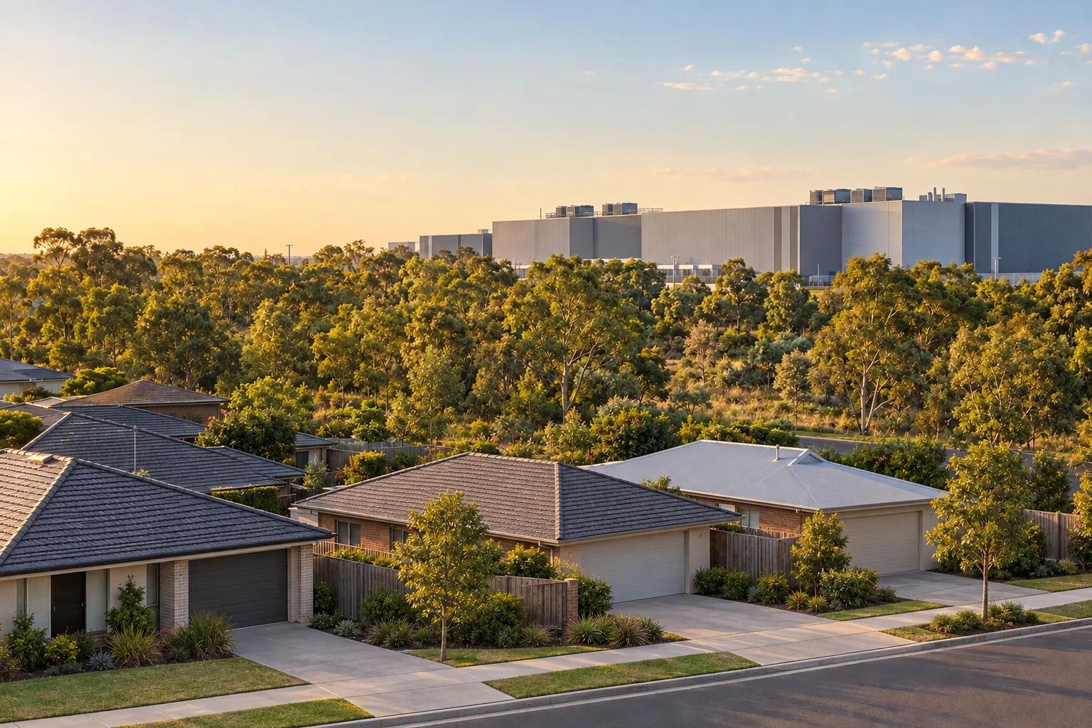
A data centre needs reliable electricity, cooling, communications links, service access and a planning pathway that can support its physical and operational footprint. For a nearby household, the useful questions concern what those requirements mean for noise, traffic, lights, water and future expansion.
NSW and Victoria have published guidance and consultation material that bring these requirements into sharper focus. The rules are not identical and will continue to change. For a buyer, the source that matters is the live planning scheme and approval pathway for the actual land, not a national assumption that every project follows the same template.
What the site needs, and what neighbours may notice
| Location pattern | Potential upside | Potential trade-off |
|---|---|---|
| High-capacity power | Grid capacity, a viable connection pathway and room to scale can make industrial land attractive for essential digital infrastructure. | Substations, transmission corridors, backup generation, construction work and new service infrastructure can change the setting around a home. |
| Water and cooling | Efficient cooling and recycled or non-potable water can reduce pressure on drinking-water supplies where the site can support them. | Water demand, cooling equipment and service infrastructure need evidence; a constrained local supply can become a planning and community concern. |
| Industrial or technology zoning | A suitable zone can separate major infrastructure from homes and create a clearer planning pathway for the land. | A zoning label is a planning framework, not a promise of quiet. Other industrial uses may also be permitted or proposed nearby. |
| Noise and residential interface | Buffers, acoustic design and careful equipment placement can reduce exposure for nearby homes. | Generators, fans, transformers, deliveries, lights and continuous operations are reasons to inspect distance, orientation and operating conditions. |
| Roads, fibre and expansion land | Good access and contiguous land can support construction, maintenance and reliable operations. | Construction traffic, security fencing, new roads or later stages can alter a boundary that appears open today. |
The planning map is part of the backyard
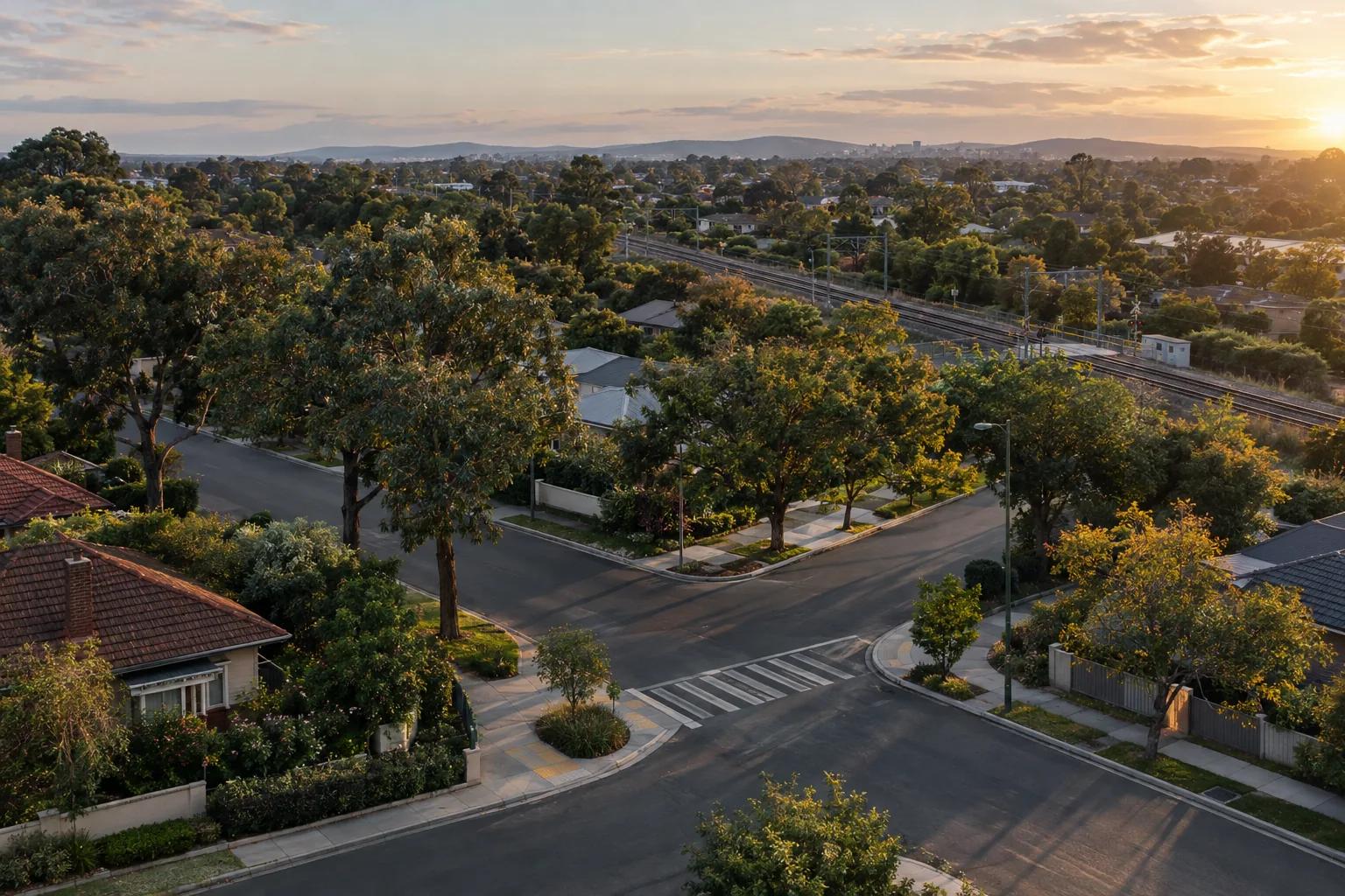
A clean outlook from the kitchen window only describes the current view. The planning map can show industrial land, transport corridors, infrastructure reservations, structure plans and other interfaces that deserve investigation. It cannot tell you that a data centre will be built there, but it can reveal where a future land-use change is more plausible than the view suggests.
That distinction matters. Industrial zoning does not mean a data centre is inevitable, and a proposal still needs to satisfy the relevant planning, environmental, noise and infrastructure requirements. It does mean that a buyer should not treat the absence of a current building as proof that the edge will remain unchanged.
Planning rules, approvals and funding can change. A proposed train station, airport runway or zoning amendment may take years, be redesigned or never arrive. Check its current status, approvals, funding and delivery horizon, then treat the proposal as a level of uncertainty rather than a promise.
Future change can arrive slowly
Data centres are a current example, but the WIMBY habit is older than server halls. Airport expansions can be planned for years, with runway proposals, indicative flight paths and noise exposure information available before construction. A buyer may treat the absence of aircraft today as proof that the noise will never arrive.
The lot line is not the whole comparison
A buyer may value the services, roads and jobs that come with a productive employment area while still wanting a home set back from its noise, lights, heavy vehicles, water infrastructure or future expansion. The useful step is to decide that trade-off before an address becomes emotionally difficult to reject.
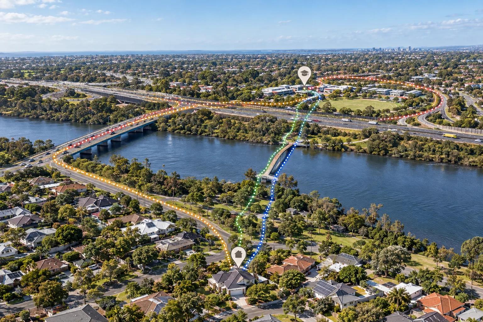
The distance threshold is yours to define. Start with the effect you care about and test how far it can travel. Noise and lights may matter beyond the immediate boundary; heavy-vehicle routes may matter along the roads a household uses; a zoning change may matter because of what it permits rather than how close the boundary looks on a map. There is no universal radius that makes a location acceptable. A useful model makes the threshold visible and gives you a reason for it.
Kaveat helps prospective buyers inspect that wider context. Use Requirements to filter out candidate locations that back onto industrial areas when the interface is a firm deal-breaker. Use Preferences to weight distance from industrial land, major infrastructure, traffic or other surrounding factors when you are willing to trade one consideration against another. You can decide how much the risk of future change matters beside the home, commute, services and budget you are also trying to satisfy.
Look forward without pretending to predict
No location model can know every future application, approval or policy change. It can help you see the exposure that is already legible in the map and decide which uncertainties deserve a site visit, a planning search or professional advice. That is a more useful response than waiting for a proposal to arrive and discovering that the relevant land-use relationship was visible all along.
WIMBY is a habit of looking beyond the fence line. Define what you can live beside, what you want to avoid and which trade-offs you accept. Then use the map to test whether the location supports that decision now and as the area changes.
Sources and further reading
- YIMBY Melbourne: Housing and land-use policy research and advocacy
- NSW Government: Data Centre Guidelines
- Victorian Government: Sustainable Data Centre Action Plan
- Water Services Association of Australia: Data Centres and Water in Australia
- NSW Government: Data Centre Consultation Paper
- Australian Government: Western Sydney International Airport flight paths
- Perth Airport: New Runway
- Airservices Australia: Perth New Runway flight paths